LiDAR (Light Detection and Ranging) is a method of generating precise and directly georeferenced spatial information about the shape and surface characteristics of the Earth. It has become an established method for collecting very dense and accurate elevation data across landscapes, shallow-water areas, and project sites. These collection techniques are popular within the surveying and engineering communities because they are capable of producing extremely high accuracies and point densities, thus permitting the development of precise, realistic, three-dimensional representations of railroads, roadways, bridges, buildings, breakwaters, and other shoreline structures.
Why Through LiDAR Only?
- The LIDAR system is introduced as a cheap and effective method for data collection that is capable to quickly capture 3D scenes. Photogrammetric mapping required extensive human labor, making it costly to map at a high level of detail whereas Lidar mapping, being highly automated, can shoot many lasers pulses per second. As a result, we can get a better result in minimal time frame.
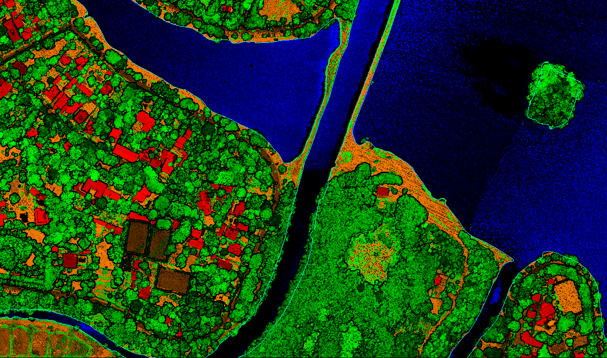
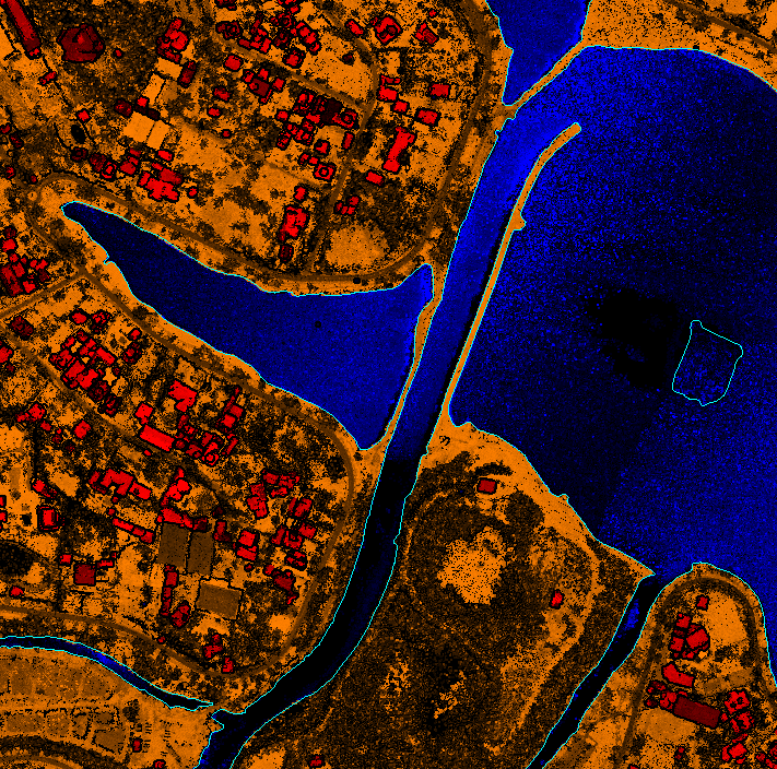
- LIDAR data can produce highly detailed topographic maps with high accuracy. This technology provides accurate spatial information of wires, Buildings, structures, vegetation and the ground along with others.
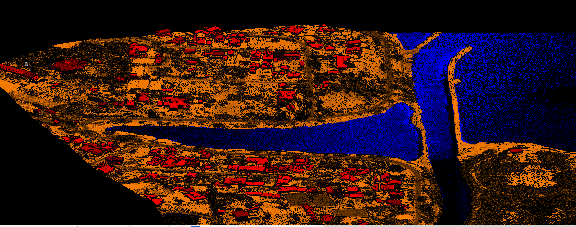
- LiDAR data allows to generate highly accurate 3D models for
network maintenance but also for potential risk analysis and
vegetation encroachment analysis which is implemented for the vegetation
management and tree trimming analysis.