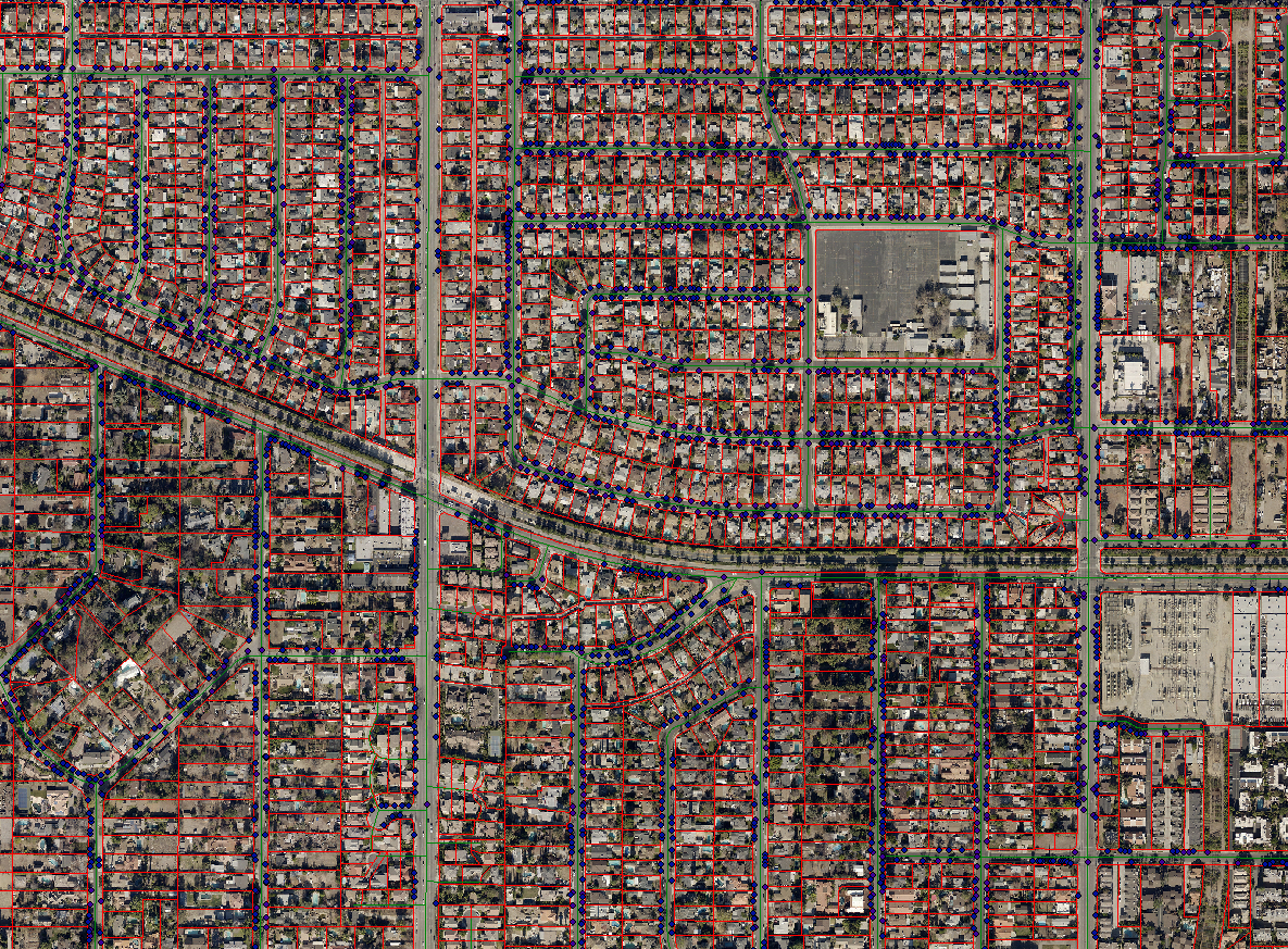
The Cadastral maps are a comprehensive register of the detailed real property of an area.Basically, cadastral map is a map that shows the boundaries and ownership of land parcels. Some cadastral maps show additional details, such as survey district names, unique identifying numbers for parcels, certificate of title numbers, positions of existing structures, section or lot numbers and their respective areas, adjoining and adjacent street names, selected boundary dimensions and references to prior maps.This includes the precise location, dimensions, and other geographical classifications of properties, and individual parcels of land.So always Cadastral mapping leads to effective management of public land records. The cadastral maps are linked with a backend database which has details of each plot, and their attributes.
MAKEINGIS accepts large scale cadastral mapping projects which includes
- Scanning of hard copy maps
- digitization of the maps using proper layer structure
- Geo-referencing the individual maps
- Merging the individual cadastral maps to a single map pertaining to a specific area.