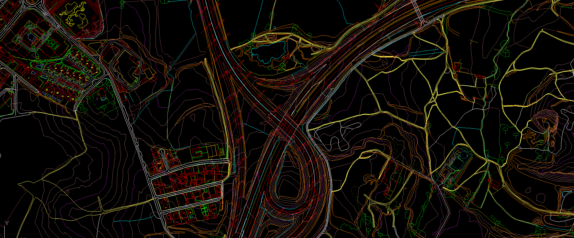
Planimetric Feature Mapping
Planimetric mapping involves maps that are showing only the horizontal position of features on the Earth’s surface which reveal geographic objects, natural and cultural physical features, and entities without topographic properties. Topographic features not captured such as roads, buildings, and bodies of water that are visible and identifiable on aerial photographs can be compiled into map features through photogrammetric surveying procedures.
- When constructing a planimetric map, MakeInGIS ensure that topology and geometry remain consistent between all map object classes for high quality and precision
- We apply coding wherever appropriate
- Regular update services are made available to maintain planimetric and GIS mapping at optimal accuracy
MakeInGIS Offered Services
- Different scale Planimetry Mapping
- Altimetry Mapping
- Manual contour Mapping
- Hydrological Mapping
- Road corridor Mapping
- Mining Mapping
- Utility Mapping
- Land use development Mapping