DEM/DTM Generation & Editing
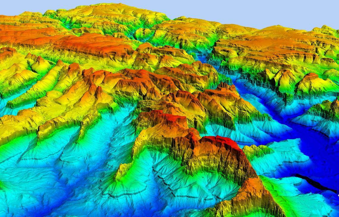
A Digital Elevation Model (DEM) is a digital model or three-dimensional (3D) representation of a terrain’s surface created from elevation data. The DEM is distinguishing the simplest form of terrain relief modelling from more complex types of digital surface representation. Originally the term DEM was exclusively used for raster representations (thus elevation values given at the intersection nodes of a regular grid).
A digital elevation model (DEM) can sometimes contain pixels with failed or incorrect values. You have to edit a DEM to smooth out such irregularities to create a more accurate model and, in turn, generate more accurate orthorectified images. For example, areas, such as lakes, often contain misleading elevation values.
As topography is one of the major factors in most types of risk analysis, the generation of a Digital Elevation Model (DEM) plays a major role. Digital Elevation Models (DEMs) can be derived through a variety of techniques, such as digitizing contours from existing topographic maps, topographic levelling, differential GPS measurements, (digital) photogrammetry, Radar remote sensing (In SAR), and Light Detection and Ranging (LiDAR)… Many derivate maps can be produced from DEMs using fairly simple GIS operations.
Different Sources of DEM
- Point elevation data
- Contour and stream-line data
- Space-borne and air-borne remotely sensed elevation data