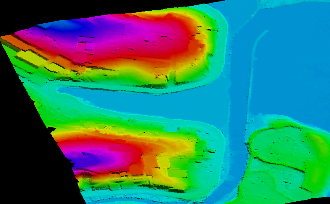
A DTM (digital Terrain model) Is the subset of DEM (Digital Elevation Model) and also a digital file representing of a highly detailed representation of topographical and as well as terrain data with break line in earth surfaces.
Combined with other digital data, such as maps or orthographs, it can provide 3D image of land surface creating greater accuracy. Consisting of terrain model of ground positions at regularly spaced horizontals intervals, the added dimension and visualisation offered by DTM can help in many decision-making processes. This is often done by using photogrammetrically derived linework introduced into a DEM surface.
Reason of using DTM
Main purpose for using DTM is to create thematic maps, grid counter. DTM is used for the creation of physical raised-relief maps, flight simulator programs or other visualization and modelling applications. Modelling of water flow or other movements (for example, to run simulated avalanches or landslides), or for land-use studies, transportation system planning, and geological applications also can be done by DTM. It also used to create 3D TINS (Triangular Irregular network).
- MakeInGIS produces high quality Digital Terrain Models (DTM) and supporting to the specialized applications such as 3D modelling, volumetric calculations, and powerline as-built surveys.
- Our company also generates fully detailed Digital Terrain Models (DTMs) for contour generation, orthophoto rectification, and flood plain mapping.