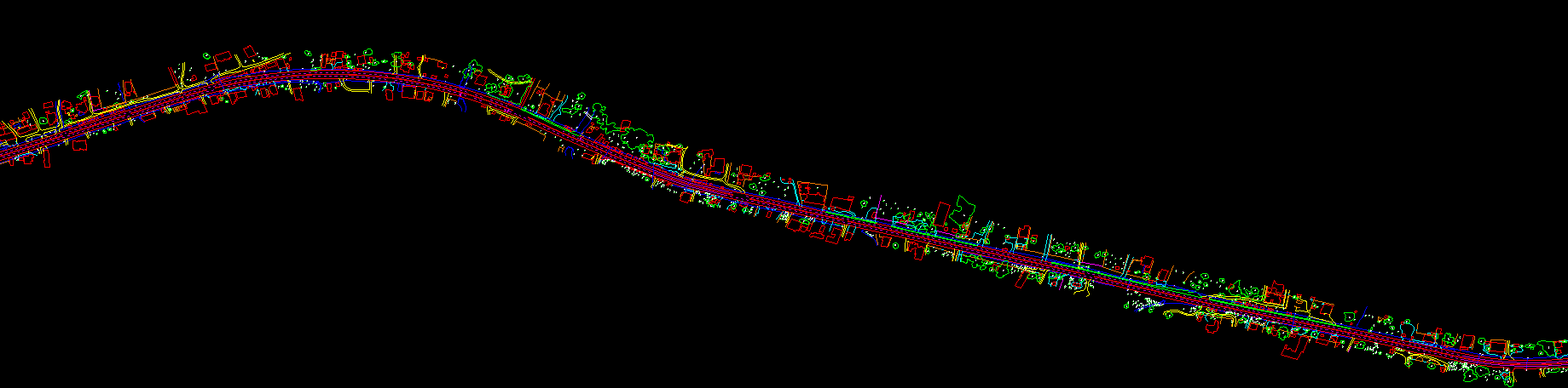
Corridor mapping generally used for Electricity sagging, tele-communication, road development, railway development and Hydrological surveys etc. Its admiration measurement of the corridor using ALS, MLS & UAV in LiDAR. High density of points in a point cloud, a low ceiling and high-resolution digital photos from multiple perspectives enable making the inventory of the objects on the traffic lane, their visualization, measurements and the analysis of transverse and longitudinal surface slopping effect. Digital terrain model (DTM) and digital surface model (DSM), which are the results of laser scanning, make it possible to generate elevation profiles in any place and to model the nosey effects.
The use of LiDAR mapping is useful for the following:- Condition assessment of tracks and switches
- Road asset management
- Digital rail asset register preparation
- Signage management
- Vegetation encroachment monitoring
- Corridor monitoring, Designing & maintenance
Benefits of LiDAR cases?
- LiDAR data can be acquired in discrete patches and later registered to get a complete 3D point cloud of the rail, road, utility corridor. As a result, data handling and processing will be faster when compared with other mapping and data gathering technologies.
- LiDAR’s ability to get minute details of complex features. The ability to collect RGB values along with intensity makes this technology most relevant for 3D model preparations. LiDAR data collection is an asset to rail engineering, designing and maintenance and constructing organizations. Using LiDAR, survey grade spatial information can be collected more quickly.