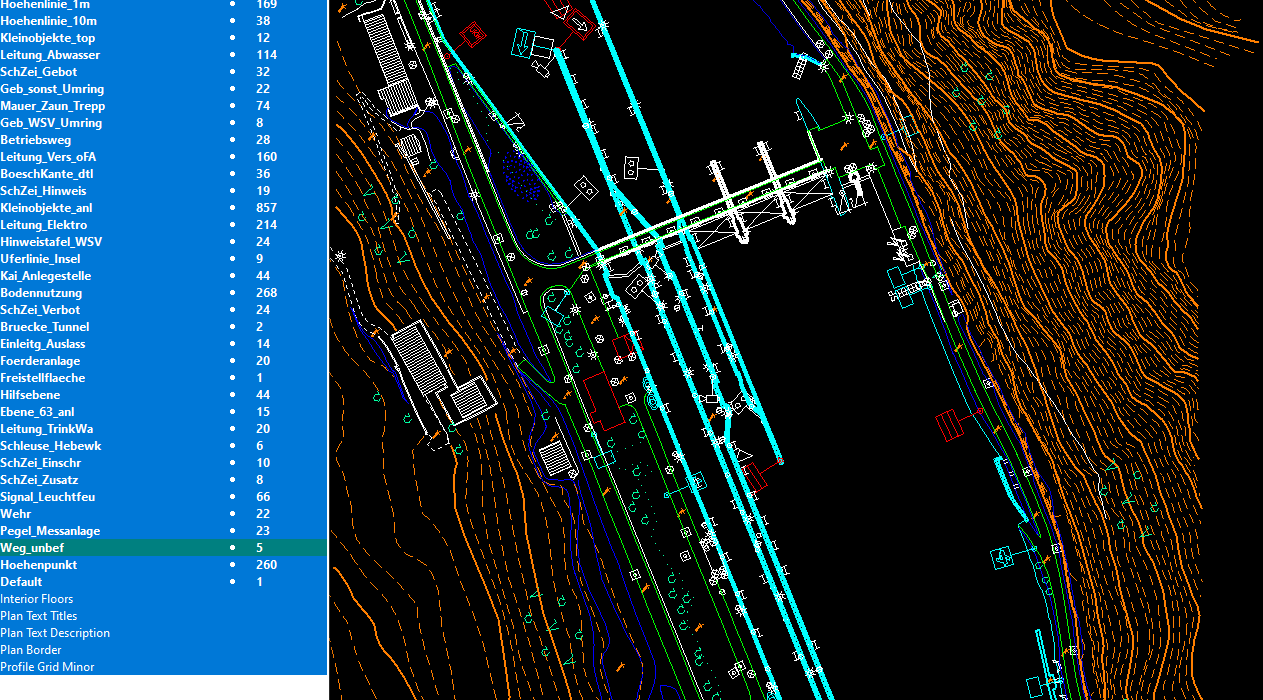
The purpose of a topographic mapping is to find the data necessary for the construction of a graphical representation of topographic features. A topographic map will show the character of the vegetation by conventional signs, as well as, the horizontal distances between features and their elevation above a given datum. Also Ground methods are needed in topographic mapping. Aerial and UAV are now used for making most of the small-scale topographic maps. The process is known as photogrammetry. Even with the photogrammetric methods, however, a certain amount of the work must be done in the field.
Basically, a topographic map represents in a small area upon a drafting medium a portion of surface of the earth. For this reason, the distance between any two points on the map must have a known ratio to the distance between the same two points on the ground. The ratio of these points is the scale of the map. The scale is given in terms of map distance in a given number of units, which corresponds to a certain distance on the ground. Scales may be expressed by direct correspondence or by a ratio.
Generally accurate Topographical feature includes
- cultural: roads, buildings, urban development, railways, airports, names of places and geographic features, administrative boundaries, state and international borders, reserves
- hydrography:lakes, rivers, streams, swamps, coastal flats
- relief:mountains, valleys, contours and cliffs, depressions
- vegetation:wooded and cleared areas, vineyards and orchards.
