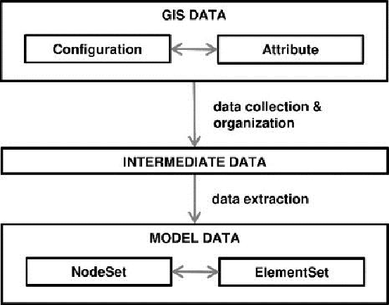
GIS data conversion is a process of encoding geographical format into a file. GIS data conversion services are used widely in mapping services where simple raster images are converted to vector models. GIS data conversion outsourcing is widely used in industries like telecom, oil and gas, real estate etc. for the conversion of hard copy into a digital GIS format.
Why you offer MakeInGIS
- We can reproduce top-quality drawings even from low quality hardcopies.
- Various entities like doors, windows, electrical and plumbing fixtures hence forth can be recognized in a trouble-free manner.
- We design with multiple layers according to the requirements of clients. Our specialization lies in generating individual layers pointing to dimension, text, body, centerlines and hidden lines.
- File formats like .BMP/.JPEG/.PDF can be converted and stored in formats such as .DWG/.DXF.
- Top-class professional service is provided at reasonable rates.
Our GIS Data conversation Services include
- Map data creation and digitization services
- Utility mapping, contour mapping, topographic mapping
- Geo rectification and geo-coding services
- Raster editing
- GIS data analysis
