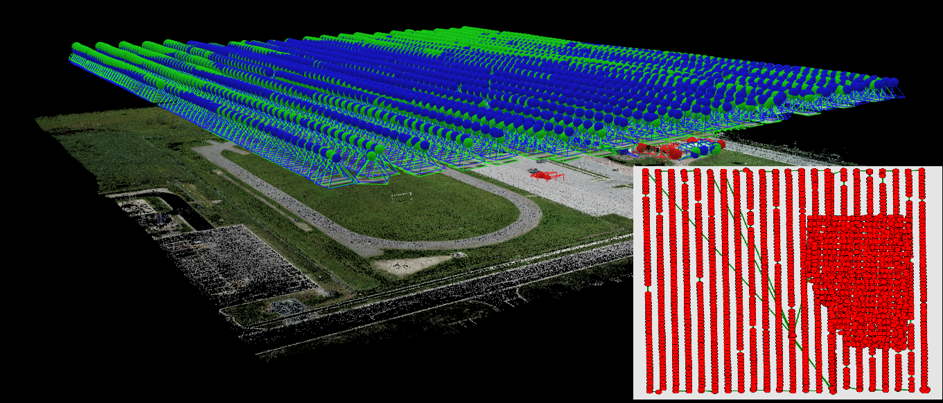
Unmanned Aerial Vehicle (UAV), is an aircraft that demands no pilot, and can both fly autonomously by pre-programmed flight systems or be remotely controlled. UAV system has the ability to quickly and inexpensively collect highly detailed data of smaller areas. We grant drone-powered solutions through highly-equipped Unmanned Aerial Vehicles (UAVs) along with our GIS specialists in action. UAV processing and UAV Mapping encourage us to sail through obtaining reliable and extensive information effortlessly. Amidst Centimeter Level Accuracy achieved in all our projects. We also represent these UAV solutions as topographical maps such as Digital Terrain Models (DTM), Digital Surface Models, Counter Maps, Orthomosaic Maps, etc. Not only do our clients secure UAV services more promptly but also with added cost-effectiveness.
UAV Data Processing is the latest wave in the Geospatial realm. Our robust and compelling computing server quickly scales up the Data processing Operations of 1000s of Kilometers of Aerial Data without exposing its quality. Holding Artificial Intelligence and Machine Learning by our side, we continue to achieve up to 99% accuracy in Volumetric Measurements, Crop yield estimation, damage detection, etc.
MakeInGIS offered services are
- True Ortho
- UAV Processing
- Topographical Mapping with required Layout
- Point Cloud Generation and its classification
- 3D Model
- Contour model
- Civil Model