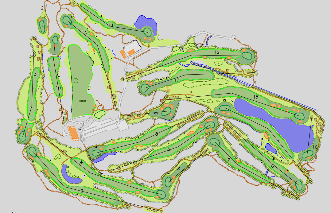
Golf Course Mapping
MakeInGIS offers an efficient solution for mapping and digitization of a golf course to create the layout – fairway, greens, tee boxes, water, sand traps, irrigation, yardage makers, cart paths etc.
MakeInGIS Having fully experienced golf course modeling and 3D/2D visualization Services Company. We create high quality still graphics of golf courses.
We utilize the high-end technologies to gather a complete “data set” of a golf course. The data set includes all the relevant information required for successful management and development of golf course as well as accurate course measurement data
MakeInGIS also provides High quality Topographic mapping as per requirement layers.
Below mentioned presentation view is our latest one.
Golf course mapping services are as given below:
- Topographic 2D map
- Topographic 3D map
- Golf course 3D modeling
