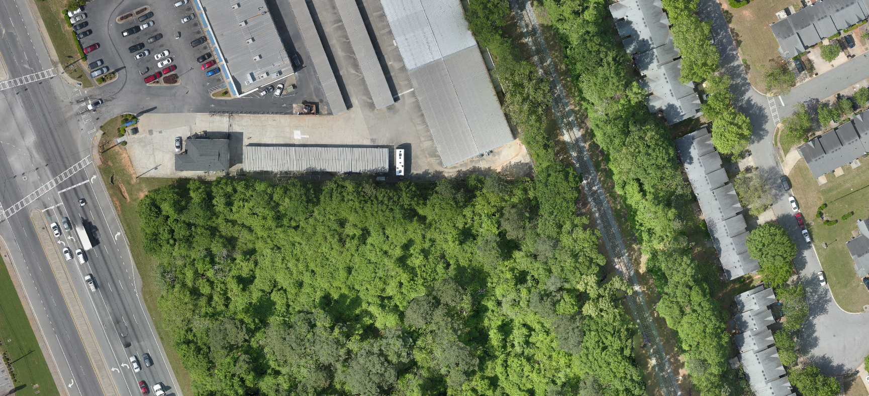
An orthophoto is an aerial photograph that has been geometrically corrected or ‘ortho-rectified‘ such that the scale of the photograph is uniform and utilized in the same manner as a map. An ortho-photograph can be used to measure true distances of features within the photograph. Planimetric corrections have been applied to remove lens distortions and optics, camera angle, and differences in elevation (topographic relief) through a process of measuring ground control points to ‘tie’ the photo to the ground, in a drawing-pin like manner.
So orthophoto is an accurate representation of the Earth’ s surface. Orthophotos have the benefits of high detail, timely coverage combined with the benefits of a map including uniform scale and true geometry.
MakeInGIS has proven experience in offering Orthophoto Production services and has successfully delivered projects that require Thermal Imagery Processing, RGB & CIR Orthophotography and Black & White Orthophotography. Orthophoto allow precise calculations of Planimetric distances with real-life representations of the ground areas being measured.
MakeInGIS Ortho services are
- Ortho rectification and Orthophoto interpretation
- Colour balancing and image mosaicking
- Object based image classification
- Seamline editing
- Tile cutting