MakeInGIS Surveyors capture the locations of visible above and below ground utilities such as storm and sanitary sewers, water, electric, natural gas, steam and communication. Our surveyors obtain records from utility companies so that record plan information can be carefully anchored to physical features. Basically, major investments need to be made in society’s utility supply lines; Water mains, sewage systems, telephone lines, power lines, gas mains, etc. Often the geographic location is recorded on inferior quality maps and in some cases& it is not documented at all.
We’ve highly skilled technicians who specialize in digitally recording important overhead as well as underground assets in detail. Possessing in-depth experience in digital documentation and unquestioned dedication, we assure our clients of supreme quality services according to their particular needs.
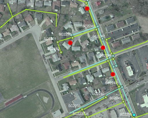
When it comes to our utility mapping service, we cover quite a few sections such as system modeling, land base creation, raster to vector map conversion, work order updates and circuit map creation. Top-grade software applications like AutoCAD and MicroStation are used to execute these activities. Our experts mix the technologies of digital mapping from various sources such as satellite pictures, aerial photographs, existing maps and GPS field data to generate the GIS database.
Our Utility Mapping Services include
- Electrical
- Telecom
- Water
- Gas