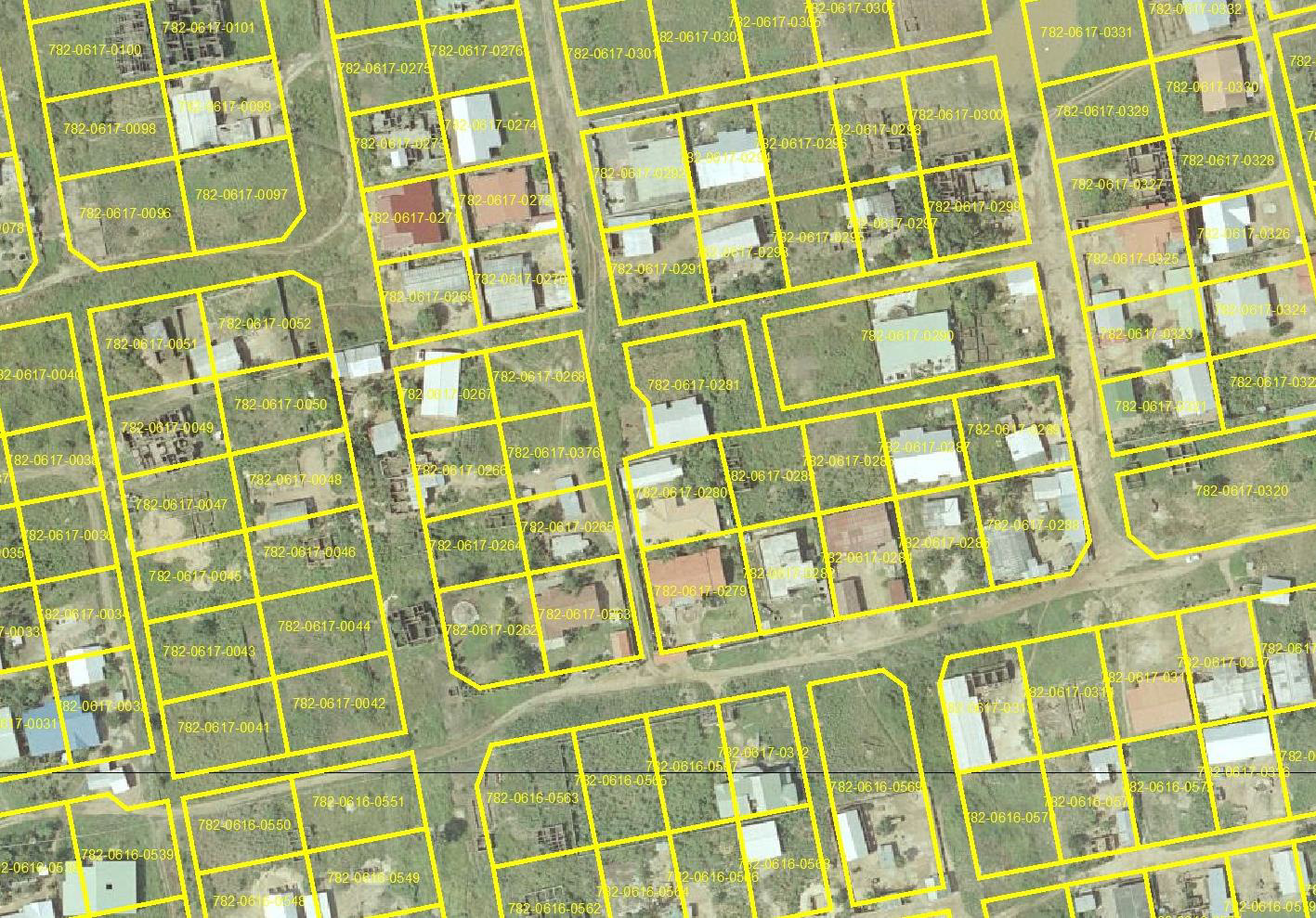
Parcel Mapping is the process in which land parcels are created. These maps comprise of polygons which are created from the base map, which shows the details of the ownership of the properties and related information. The base maps are the cadastral maps showing each individual plot in different sub divisions. The land parcels are the fundamental data layer on which different data are referenced. Parcel mapping services is one of the most important aspects of Geographic Information System (GIS).
Parcel map, also known as a property map and tax map and these maps are typically built to identify property boundaries and is a popular data source for industries such as real-estate and Govt agencies. So, Parcels can often contain many businesses in the same plot.
Benefits:
- To maintain an official cartographic record of land surveys
- Helps in evaluation of taxation and assists to keep ownership records.
- Used for town planning
- Land use change
After MakeInGIS data, benefit will take
- State and Local Government
- Real Estate Developers
- City Planners
- Tax Assessors
- Public and Private Utility Services
- Commercial Real Estate and Private
- Homeowners