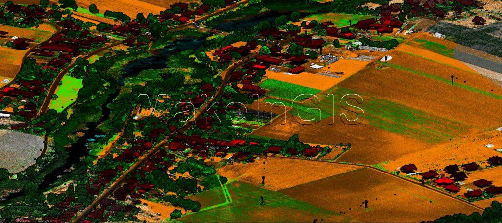
LiDAR for Advanced Level Classification: Unlocking Efficiency and Safety
LiDAR (Light Detection and Ranging) technology has emerged as a powerful tool in various industries, enabling precise measurements and accurate 3D mapping. One of its notable applications is powerline classification, where LiDAR helps to identify and classify powerline infrastructure in a highly efficient and safe manner. In this article, we will explore the benefits of using LiDAR for powerline classification and understand how it revolutionizes the way we manage and maintain power grids.
Increased Safety:
Safety is a paramount concern when dealing with powerline infrastructure. LiDAR technology allows for comprehensive mapping and analysis of powerline assets without the need for physical contact. This minimizes the risk of accidents and injuries associated with traditional inspection methods, such as climbing poles or using helicopters for aerial surveys. By keeping workers out of harm’s way, LiDAR contributes to a safer work environment and reduces potential liability for utility companies.
Enhanced Accuracy and Efficiency:
LiDAR systems utilize laser beams to measure the distance between the sensor and surrounding objects. By capturing millions of data points per second, LiDAR provides an incredibly detailed and accurate representation of the powerline infrastructure. This level of precision significantly improves the efficiency of powerline classification tasks by eliminating the need for manual inspections or relying on outdated maps. Utilities and maintenance teams can quickly assess the condition of powerlines, identify potential issues, and plan maintenance activities with greater confidence.
Cost Savings:
The adoption of LiDAR for powerline classification can lead to significant cost savings for utility companies. By automating the classification process, fewer field personnel are required for inspections, reducing labor costs. Additionally, the ability to identify potential issues early on helps utilities plan maintenance activities more effectively, preventing costly emergency repairs. Moreover, the improved accuracy of LiDAR data allows for better asset management and infrastructure planning, optimizing investment decisions and minimizing unnecessary expenditures.
Vegetation Management:
Overgrown vegetation near powerlines is a common cause of outages and electrical hazards. LiDAR-based powerline classification plays a crucial role in vegetation management. By accurately identifying the proximity of trees and other vegetation to powerlines, utilities can proactively plan trimming or removal operations. Timely vegetation management not only prevents power disruptions but also reduces the risk of wildfires caused by contact between powerlines and flammable materials.
LiDAR technology has revolutionized powerline classification by providing accurate, efficient, and safe methods for identifying and assessing powerline infrastructure. The benefits of using LiDAR in this context extend to improved accuracy, faster response times, enhanced safety, proactive vegetation management, and significant cost savings. As LiDAR systems continue to advance, we can expect even more innovative applications that will further optimize power grid management and maintenance processes.